")
")


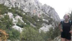
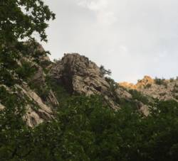
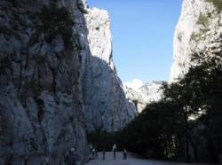
Paklenica
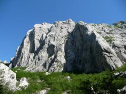
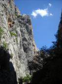


Interesting rock climbing area for routes from 6a to 6c and from 7a to 7c (french grades).
Best time(s) :
- January
- February
- March
- April
- May
- June
- July
- August
- Sept.
- Oct.
- Nov.
- Dec.
Aspect(s) : All Altitude : 100 m
Approach between 2min and 1h min up hill. Kids friendly ? foot of the crag reasonable for young kids.
Informations :
More than 300 routes, from 3c to 8b , spread over many crags Bolting : traditionnal climbing, sport climbing
Max Height : 400 m.
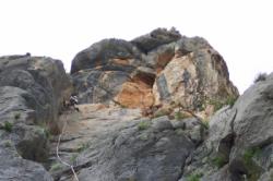
Rock :
limestone. Characteristic(s) : slab  , vertical
  , steep wall
  . Type(s) of holds : crimps, cracks, limestone channels.
Further information(s) : Accès dans le parc national payant.
Web site(s) :
http://www.paklenica.hr/En/index_en.html
Locations :
Area :
Croatia, Zadarska županija, Općina Starigrad, Zadar, Starigrad.
|
|
Latitude : 44° 18' 4" N | Longitude : 15° 28' 16" E | Sexagesimal & Orientation |
|
|
Latitude : 44° 17' 31" N | Longitude : 15° 27' 18" E | Sexagesimal & Orientation |
| More coordinates |
Area added by CA