
")
")


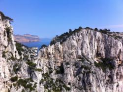
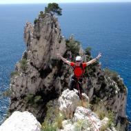
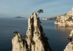
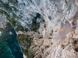
Les Calanques - En Vau (Plateau de Castelvieil)
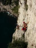
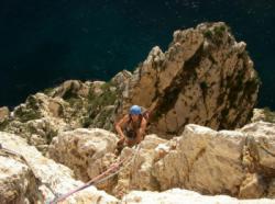
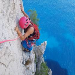
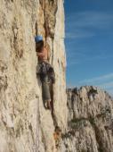


Interesting rock climbing area for routes up to 5c, from 6a to 6c and from 7a to 7c (french grades).
Best time(s) :
- January
- February
- March
- April
- May
- June
- July
- August
- Sept.
- Oct.
- Nov.
- Dec.
Aspect(s) : NW-SW-SE Altitude : 100 m
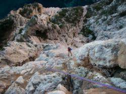
Approach 1h30 min down hill then up hill. Kids friendly ? foot of the crag dangerous for young kids.
Informations :
Between 50 and 100 routes, from 3c to 8a , spread over many crags Bolting : traditionnal climbing, big run out climbing
Max Height : 230 m.
Rock :
limestone. Characteristic(s) : dihedral  , vertical
  , slab
  . Type(s) of holds : crimps, water erosion pockets, cracks.
Further information(s) : Plusieurs traversées de légende à ne pas prendre à la légère comme la traversée Ramond: Traversée difficile qui nécessite la mise de sangles, coinceurs et friends. Voie vertigineuse avec 2 longueurs en 5b/5c sur la fin. Compter 5 à 8 h de traversée en fonction du niveau. Recherche d'itinéraire nécessaire donc grimpeur expérimenté. Démarrage par le "trou du canon".
Approche 1h30 depuis le parking de Cassis.
Approche 1h30 depuis le parking de Cassis.
Voir sur le site de la préfecture du 13 pour connaître les restriction concernant l'accès aux falaises.
Locations :
Area :
France, Provence-Alpes-Côte d'Azur, Bouches-du-Rhône (13), Marseille, Cassis.
|
|
Latitude : 43° 12' 5" N | Longitude : 5° 29' 51" E | Sexagesimal & Orientation |
|
|
Latitude : 43° 13' 38" N | Longitude : 5° 30' 14" E | Sexagesimal & Orientation |
| More coordinates |
VIDEOS
Area added by CA


