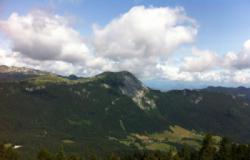
Le Charmant Som
Interesting rock climbing area for routes from 7a to 7c (french grades).
Best time(s) :
- January
- February
- March
- April
- May
- June
- July
- August
- Sept.
- Oct.
- Nov.
- Dec.
Aspect(s) : E Altitude : 1600 m
Approach 30 min up hill then down hill. Kids friendly ? foot of the crag reasonable for young kids.
Informations :
Between 10 and 25 routes, from 3a to 4a. Bolting : traditionnal climbing
Max Height : 210 m.
Rock :
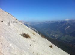
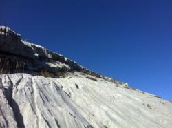
limestone. Characteristic(s) : slab  . Type(s) of holds : cracks, limestone channels.
Further information(s) : Voie d'initiation aux grandes voies engagées. Quelques spits subsistent pour les relais mais un déséquipement a eu lieu (la paroi avait été sur-équipée sauvagement).
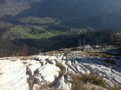
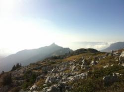
Étant donné la difficulté modérée, c'est une paroi idéale pour découvrir le terrain d'aventure, les coinceurs et s'amuser à trouver des lunules pour s'assurer. On sort par le haut, on pourra apprécier la vue depuis la croix du Charmant Som et retour dans une belle descente d'alpage.
Étant donné la difficulté modérée, c'est une paroi idéale pour découvrir le terrain d'aventure, les coinceurs et s'amuser à trouver des lunules pour s'assurer. On sort par le haut, on pourra apprécier la vue depuis la croix du Charmant Som et retour dans une belle descente d'alpage.
Prévoir coinceurs, sangles et cordelettes.
Locations :
Area :
France, Auvergne-Rhône-Alpes, Isère (38), Grenoble, Saint-Pierre-de-Chartreuse.
|
|
Latitude : 45° 19' 21" N | Longitude : 5° 46' 2" E | Sexagesimal & Orientation |
|
|
Latitude : 45° 19' 8" N | Longitude : 5° 45' 23" E | Sexagesimal & Orientation |
| More coordinates |
Area added by LeChatNoir


