
")
")


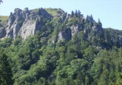
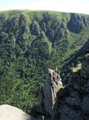
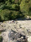
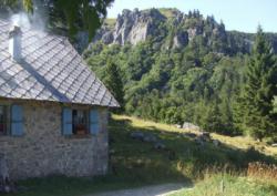
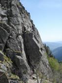
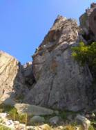
La Martinswand (France)
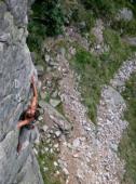
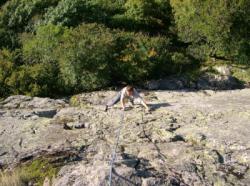
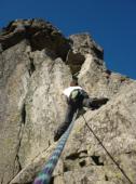

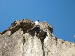


Interesting rock climbing area for routes from 6a to 6c, from 7a to 7c and starting from 8a (french grades).
Best time(s) :
- January
- February
- March
- April
- May
- June
- July
- August
- Sept.
- Oct.
- Nov.
- Dec.
Aspect(s) : W-S-E Altitude : 1200 m
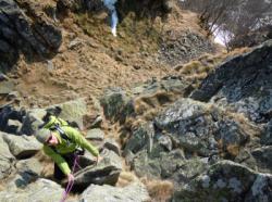
Approach 15 min steep down hill. Kids friendly ? foot of the crag uneven for young kids.
Informations :
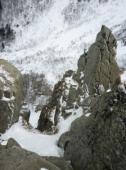
Between 50 and 100 routes, from 3c to 8b , spread over many crags Bolting : big run out climbing
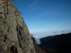
Max Height : 80 m.
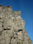
Rock :
granite. Characteristic(s) : dihedral  , vertical
  , slab
  . Type(s) of holds : cracks.
Legendary route(s) :
L'extrème onction 7a 2nd 7a in the world by Jean-François Hagenmüller on 1977. 3rd 7a in the world sent by Jean-Pierre Minazi on 1977
juillet 2022, un utilisateur a rapporté que le site est réouvert par arrêté municipal de la mairie de Stosswihr depuis le 12 août 2021.
Locations :
Area :
France, Grand Est, Haut-Rhin (68), Colmar, Munster.
|
|
Latitude : 48° 2' 46" N | Longitude : 7° 0' 56" E | Sexagesimal & Orientation |
|
|
Latitude : 48° 3' 3" N | Longitude : 7° 0' 51" E | Sexagesimal & Orientation |
| More coordinates |
Area added by Cat


