
")
")


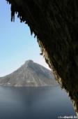
Kalymnos (autour de Masouri)
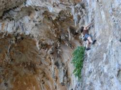

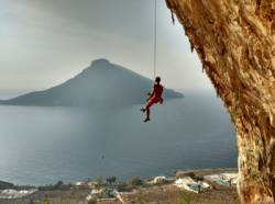
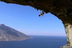
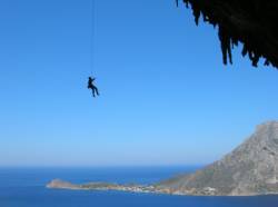
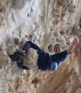
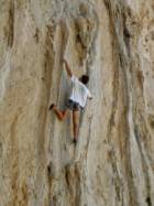
Interesting rock climbing area for routes up to 5c, from 6a to 6c, from 7a to 7c and starting from 8a (french grades).
Best time(s) :
- January
- February
- March
- April
- May
- June
- July
- August
- Sept.
- Oct.
- Nov.
- Dec.
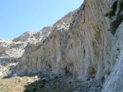
Aspect(s) : All Altitude : 150 m
Approach between 5 and 50 min up hill. Kids friendly ? foot of the crag uneven for young kids.
Informations :
More than 400 routes, from 4a to 9a , spread over many crags Bolting : sport climbing
Max Height : 130 m.
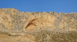
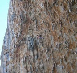
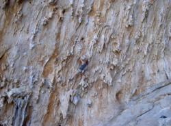
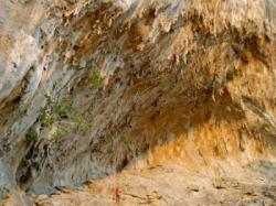
Rock :
limestone. Characteristic(s) : overhang  , steep wall
  , vertical
  , slab
  . Type(s) of holds : tufas, ribs.
Locations :
Area :
Greece, South Aegean (Περιφέρεια Νοτίου Αιγαίου), Kos, Dodecanese Islands (Περιφερειακή ενότητα Κω), Pothia (Πόθια), Massouri.
|
|
Latitude : 37° 0' 13" N | Longitude : 26° 56' 38" E | Sexagesimal & Orientation |
|
|
Latitude : 37° 0' 15" N | Longitude : 26° 56' 27" E | Sexagesimal & Orientation |
| More coordinates |
VIDEOS
Area added by CA


