")
")


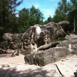
Fontainebleau - Les Trois Pignons (95.2)
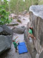
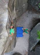
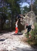
Interesting bouldering area for problems up to 5c, from 6a to 6c, from 7a to 7c and starting from 8a (Fontainebleau grades).
Best time(s) :
- January
- February
- March
- April
- May
- June
- July
- August
- Sept.
- Oct.
- Nov.
- Dec.
Aspect(s) : All Altitude : 100 m
Approach 10 min on flat ground. Kids friendly ? area around the boulders comfortable for young kids.
Informations :
More than 300 problems, from 3b to 8a. Bolting : sport climbing
Max Height : 6 m.
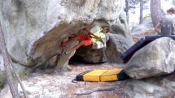
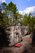
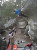
Rock :
sandstone. Characteristic(s) : steep wall  , vertical
  , slab
  . Type(s) of holds : crimps, slopers.
Landing quality : flat ground (1 crash pad needed) or uneven or steep ground (1 crash pad and 1 spotter needed).
Locations :
Area :
France, Île-de-France, Seine-et-Marne (77), Malesherbes, Fontainebleau, Milly-la-Forêt.
|
|
Latitude : 48° 23' 7" N | Longitude : 2° 31' 49" E | Sexagesimal & Orientation |
|
|
Latitude : 48° 23' 15" N | Longitude : 2° 31' 9" E | Sexagesimal & Orientation |
| More coordinates |
Area added by CA