
")
")


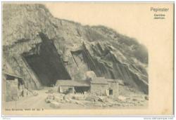
Carrière Jaminon
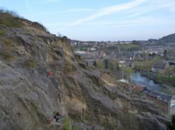
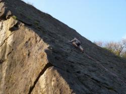
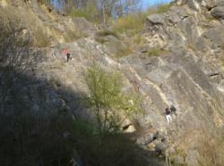

Interesting rock climbing area for routes up to 5c, from 6a to 6c, from 7a to 7c and starting from 8a (french grades).
Altitude : 150 m
Approach 1 min easy up hill. Kids friendly ? foot of the crag reasonable for young kids.
Informations :
More than 100 routes, from 3a to 8c , spread over many crags Bolting : traditionnal climbing, sport climbing
Max Height : 35 m.
Rock :
limestone. Characteristic(s) : slab  , vertical
  , steep wall
  , overhang
  , dihedral
  . Type(s) of holds : crimps.
Web site(s) :
http://www.infos-escalade.be/pepinster/pepinster1.htm http://www.belclimb.net/massives_detail.asp?cragid=115
Locations :
Area :
Belgium, Région wallonne, Province de Liège, Verviers, Pépinster.
|
|
Latitude : 50° 34' 14" N | Longitude : 5° 48' 1" E | Sexagesimal & Orientation |
|
|
Latitude : 50° 34' 12" N | Longitude : 5° 48' 2" E | Sexagesimal & Orientation |
| More coordinates |
Area added by someone who did not leave her/his name :)

