")
")


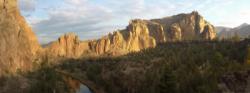
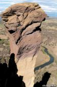
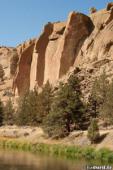
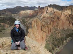
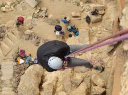
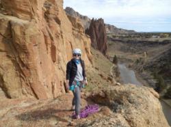
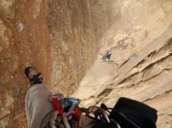
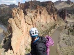
Smith Rock
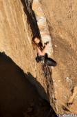


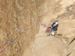

Interesting rock climbing area for routes up to 5c, from 6a to 6c, from 7a to 7c and starting from 8a (french grades).
Best time(s) :
- January
- February
- March
- April
- May
- June
- July
- August
- Sept.
- Oct.
- Nov.
- Dec.
Aspect(s) : All Altitude : 850 m
Approach between 10 and 35 min down hill then up hill. Kids friendly ? foot of the crag reasonable for young kids.
Informations :
More than 1000 routes, from 5.3 to 5.14d , spread over many crags Bolting : traditionnal climbing, sport climbing
Max Height : 110 m.
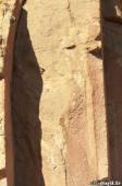
Rock :
volcanic stone, basalt. Characteristic(s) : dihedral  , steep wall
  , vertical
  . Type(s) of holds : pockets / holes, crimps, pebbles, cracks.
Legendary route(s) :
Assassin 5.14d (9a F.A. Drew Ruana fev 2016)
Scarface 5.13d/14a 1st 5.13d/14a (8b/8b+) in the world by Scott Franklin on 1987.
To Bolt or Not to Be 5.14a 4th 5.14a (8b+) in the world by JB Tribout on 1986.
The Optimist 5.14b sent by Beth Rodden on 2004.
Just Do It 5.14c 4th 5.14c (8c+) in the world by JB Tribout on 1992. Others outstandings sends : Paige Claassen (2014)
Assassin 5.14d (9a F.A. Drew Ruana fev 2016)
Smith Rock est un site payant: 5$ pour un jour ; 30$ pour un an ; 50$ pour 2 ans.
Web site(s) :
http://www.smithrock.com/
Locations :
Area :
United States, Oregon, Deschutes County, Bend, Terrebonne.
|
|
Latitude : 44° 22' 1" N | Longitude : 121° 8' 37" W | Sexagesimal & Orientation |
|
|
Latitude : 44° 21' 57" N | Longitude : 121° 8' 13" W | Sexagesimal & Orientation |
| More coordinates |
VIDEOS
Area added by CA