")
")


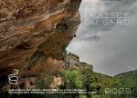
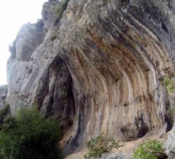
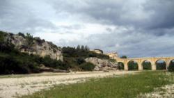
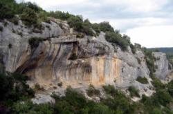
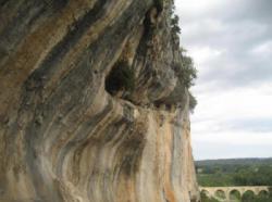
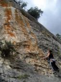
Pont Saint Nicolas
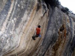
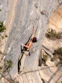
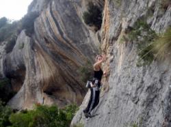
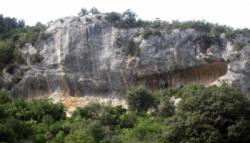

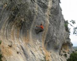
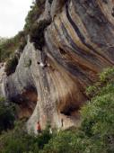
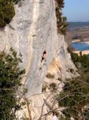
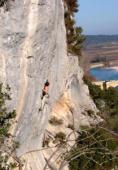
Interesting rock climbing area for routes up to 5c, from 6a to 6c, from 7a to 7c and starting from 8a (french grades).
Best time(s) :
- January
- February
- March
- April
- May
- June
- July
- August
- Sept.
- Oct.
- Nov.
- Dec.
Aspect(s) : SE Altitude : 100 m
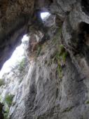
Approach 15 min steep down hill. Kids friendly ? foot of the crag reasonable for young kids.
Informations :
Between 50 and 100 routes, from 3a to 8b. Bolting : sport climbing
Max Height : 15 m.
Rock :
limestone. Characteristic(s) : slab  , vertical
  , steep wall
  . Type(s) of holds : crimps, ribs.
We liked this/these route(s) : Bah taille dans le corail 7a+
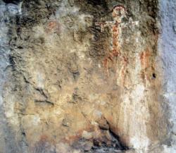
Further information(s) : Prises bidouillées.
Interdiction de toucher aux peintures de la baume !
Locations :
Area :
France, Occitanie, Gard (30), Uzès, Vic.
|
|
Latitude : 43° 56' 24" N | Longitude : 4° 22' 25" E | Sexagesimal & Orientation |
|
|
Latitude : 43° 56' 40" N | Longitude : 4° 22' 38" E | Sexagesimal & Orientation |
| More coordinates |
VIDEOS
Area added by CA