
")
")


Ore

Interesting rock climbing area for routes from 6a to 6c and from 7a to 7c (french grades).
Best time(s) :
- January
- February
- March
- April
- May
- June
- July
- August
- Sept.
- Oct.
- Nov.
- Dec.
Aspect(s) : SW Altitude : 550 m
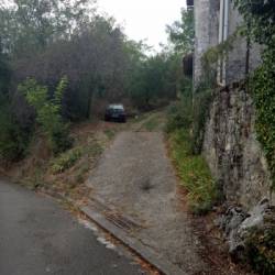
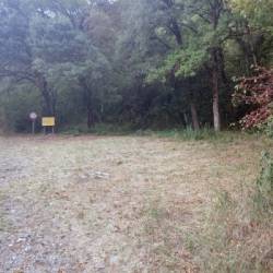
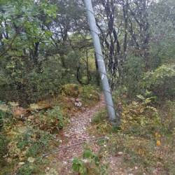
Approach 10 min easy up hill. Kids friendly ? foot of the crag uneven for young kids.
Informations :
Between 10 and 25 routes, from 4c to 8a , spread over many crags Bolting : sport climbing
Max Height : 25 m.
Rock :
limestone. Characteristic(s) : overhang  , vertical
  . Type(s) of holds : crimps, cracks, ribs.
We liked this/these route(s) : Papy Turbo 6b ; Massada 6b+
Further information(s) : Attention aux chutes de pierres!
Locations :
Area :
France, Occitanie, Haute-Garonne (31), Montréjeau, Saint Gaudens, Ore.
|
|
Latitude : 42° 58' 43" N | Longitude : 0° 38' 40" E | Sexagesimal & Orientation |
|
|
Latitude : 42° 58' 36" N | Longitude : 0° 38' 48" E | Sexagesimal & Orientation |
| More coordinates |
Area added by Ludo


