
")
")


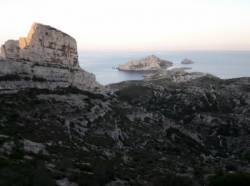
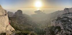
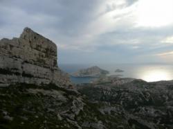
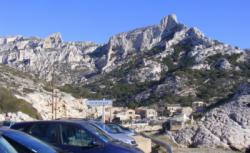
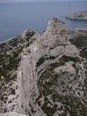
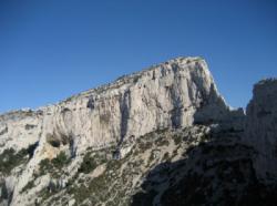
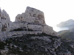
Les Calanques (Les Goudes)
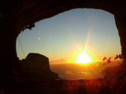
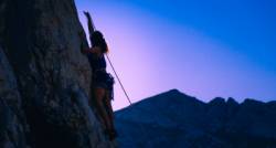
Interesting rock climbing area for routes up to 5c, from 6a to 6c, from 7a to 7c and starting from 8a (french grades).
Best time(s) :
- January
- February
- March
- April
- May
- June
- July
- August
- Sept.
- Oct.
- Nov.
- Dec.
Aspect(s) : W-S-N Altitude : 250 m
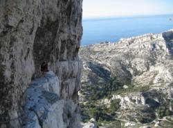
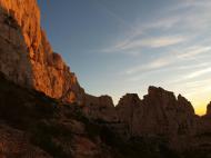
Approach between 15 and 30 min steep up hill. Kids friendly ? foot of the crag uneven for young kids.
Informations :
More than 200 routes, from 3a to 9a , spread over many crags Bolting : sport climbing
Max Height : 70 m.
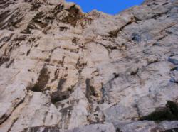
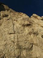
Rock :
limestone. Characteristic(s) : slab  , vertical
  , steep wall
  . Type(s) of holds : crimps, water erosion pockets, ribs.
We liked this/these route(s) : Occidentale (4 longueurs) 5c/4c/5c/6b
Legendary route(s) :
Liaisons dangereuses 8b 2nd 8b on sight in the world by Elie Chevieux on 1993.
Robi in the sky 9a first ascent by François Legrand on 22 dec 2000. First repeat : Adam Ondra (2009)
Voir sur le site de la préfecture du 13 pour connaître les restriction concernant l'accès aux falaises.
Locations :
Area :
France, Provence-Alpes-Côte d'Azur, Bouches-du-Rhône (13), Marseille, Callelongue.
|
|
Latitude : 43° 12' 58" N | Longitude : 5° 21' 52" E | Sexagesimal & Orientation |
|
|
Latitude : 43° 12' 44" N | Longitude : 5° 21' 10" E | Sexagesimal & Orientation |
| More coordinates |
Area added by CA


