
")
")


Le Val Saint Martin


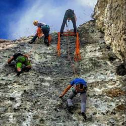
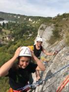

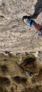
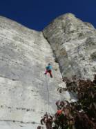

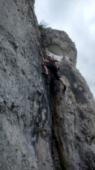


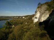

Interesting rock climbing area for routes up to 5c and from 6a to 6c (french grades).
Best time(s) :
- January
- February
- March
- April
- May
- June
- July
- August
- Sept.
- Oct.
- Nov.
- Dec.
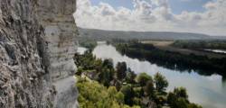
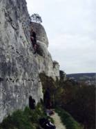
Aspect(s) : SW-S Altitude : 50 m
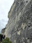
Approach 5 min up hill then down hill. Kids friendly ? foot of the crag uneven for young kids.
Informations :
More than 100 routes, from 3a to 6c , spread over many crags Bolting : sport climbing
Max Height : 35 m.
Rock :
limestone. Characteristic(s) : slab  , vertical
  , dihedral
  . Type(s) of holds : crimps.
Locations :
Area :
France, Normandie, Eure (27), Rouen, Les Andelys.
|
|
Latitude : 49° 15' 7" N | Longitude : 1° 23' 2" E | Sexagesimal & Orientation |
|
|
Latitude : 49° 15' 8" N | Longitude : 1° 22' 53" E | Sexagesimal & Orientation |
| More coordinates |
Area added by someone who did not leave her/his name :)


