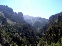
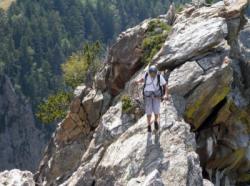
Le roc de Mariailles
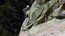
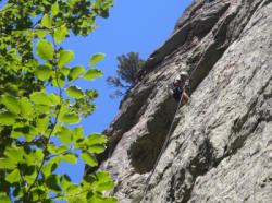
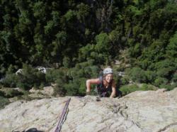
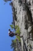
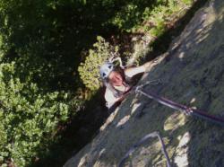
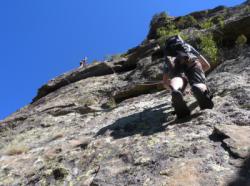
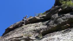
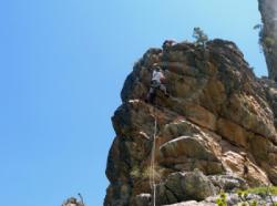
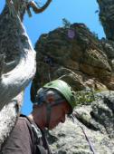
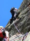
Interesting rock climbing area for routes up to 5c, from 6a to 6c and from 7a to 7c (french grades).
![Information](/images/attention.png)
Many additional skills about progressing, belaying, escaping technics ... are necessary for multipitch routes security.
Best time(s) : - January
- February
- March
- April
- May
- June
- July
- August
- Sept.
- Oct.
- Nov.
- Dec.
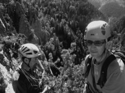
Aspect(s) : SW-S-SE-NE Altitude : 1650 m
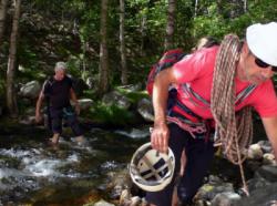
Approach between 2 and 1h15 min up hill. Kids friendly ? foot of the crag reasonable for young kids.
Informations :
Between 25 and 50 routes, from 4c to 7a , spread over many crags Bolting : traditionnal climbing, sport climbing
Max Height : 400 m.
Rock :
granite.
Characteristic(s) : slab
![Dalle](/images/dalle.png)
, vertical
![Vertical](/images/vertical.png)
.
Type(s) of holds : crimps, cracks.
Locations :
Area :
France, Occitanie, Pyrénées-Orientales (66), Prades, Casteil.
![Information](/images/readme.png)
1. Zoom in to get all the rock climbing places 200 km around.
![](/images/mm_20_green.png)
: Bouldering
![](/images/mm_20_orange.png)
: Single pitch
![](/images/mm_20_red.png)
: Multi pitches
![](/images/mm_20_blue.png)
: Deep water soloing
![](/images/mm_20_white.png)
: Differents kind of climbing
Rock climbing area GPS Coordinates : |
Latitude : 42° 30' 11" N |
Longitude : 2° 24' 47" E |
Sexagesimal & Orientation
|
|
Latitude : 42° 30' 11" |
Longitude : 2° 24' 47" |
Degrees, Minutes, Seconds (DMS)
|
|
Latitude : 42° 30.184' |
Longitude : 2° 24.788' |
Degrees, Décimal minutes (DM)
|
|
Latitude : 42.503066° |
Longitude : 2.41313° |
Decimal degrees (DD)
|
|
Parking lot GPS Coordinates : |
Latitude : 42° 29' 59" N |
Longitude : 2° 24' 26" E |
Sexagesimal & Orientation
|
|
Latitude : 42° 29' 59" |
Longitude : 2° 24' 26" |
Degrees, Minutes, Seconds (DMS)
|
|
Latitude : 42° 29.988' |
Longitude : 2° 24.447' |
Degrees, Décimal minutes (DM)
|
|
Latitude : 42.499802° |
Longitude : 2.40745° |
Decimal degrees (DD)
|
Area added by CA