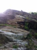
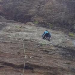
La Duchère
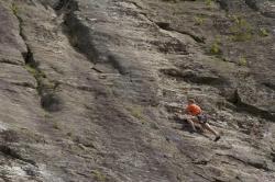
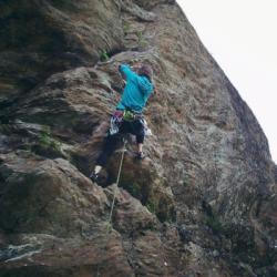
Interesting rock climbing area for routes up to 5c, from 6a to 6c and from 7a to 7c (french grades).
Best time(s) :
- January
- February
- March
- April
- May
- June
- July
- August
- Sept.
- Oct.
- Nov.
- Dec.
Aspect(s) : NW Altitude : 1300 m
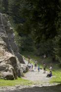
Approach between 10 and 20 min easy up hill. Kids friendly ? foot of the crag uneven for young kids.
Informations :
More than 100 routes, from 3a to 7c , spread over many crags Bolting : sport climbing
Max Height : 140 m.
Rock :
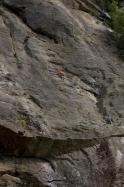
gneiss. Characteristic(s) : dihedral  , vertical
  , slab
  . Type(s) of holds : crimps, cracks.
Further information(s) : Ideal climbing area for beginners but also for the stronger ones up to 6c (there are even few routes in the 7th degree).
Mostly in slab, there are some overhangs to the Drilling sector. The cliff dries quickly on the whole but the sun arrives very late.
The UCPA and Amphitheater areas are very comfortable for children (large esplanade).
Cherry on the cake, a leisure park next to it, where you will find a small lake, children's games, tree climbing, mountain biking, golf, bar ...
Access: Go through the village of Les Contamines-Montjoie. Then two possibilities :
- Big tarmacked parking on the left, in front of the cable car "télécabine de la Gorge". Reach the amusement park, then follow the signs "rocher d'escalade" (to the right 150 m after the bridge).
- Big untarmacked parking farther on the left. Traverse the bridge, follow the path on the left then the first on the right.
Web site(s) :
http://www.escalade-74.com/falaises/escalade_duchere.htm
Locations :
Area :
France, Auvergne-Rhône-Alpes, Haute-Savoie (74), Sallanches, Les Contamines-Monjoie.
|
|
Latitude : 45° 47' 48" N | Longitude : 6° 43' 28" E | Sexagesimal & Orientation |
|
|
Latitude : 45° 47' 41" N | Longitude : 6° 43' 3" E | Sexagesimal & Orientation |
| More coordinates |
Area added by CA


