")
")


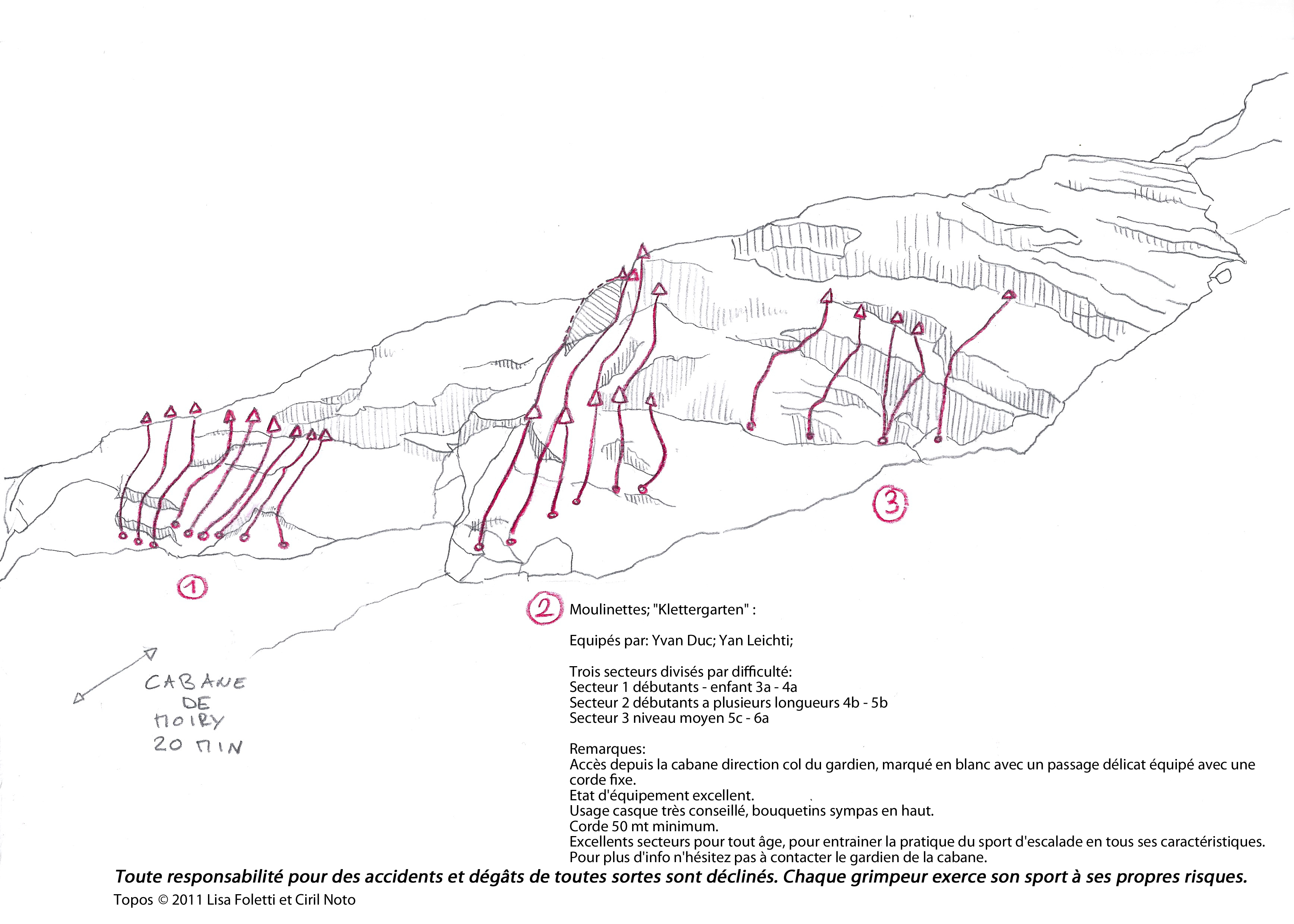
La Cabane de Moiry
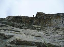
Interesting rock climbing area for routes up to 5c and from 6a to 6c (french grades).
Best time(s) :
- January
- February
- March
- April
- May
- June
- July
- August
- Sept.
- Oct.
- Nov.
- Dec.
Aspect(s) : SE-E Altitude : 2800 m
Approach 120 min steep up hill then steep down hill. Kids friendly ? foot of the crag comfortable for young kids.
Informations :
Between 10 and 25 routes, from 3a to 6a , spread over 20 crags Bolting : sport climbing
Max Height : 40 m.
Rock :
gneiss. Characteristic(s) : dihedral  , vertical
  , slab
  . Type(s) of holds : jugs, pockets / holes, cracks.
Further information(s) : Top rope only.
Web site(s) :
http://cabane-de-moiry.ch
Locations :
Area :
Switzerland, Valais, District d'Hérens, Sierre, Grimentz.
|
|
Latitude : 46° 5' 22" N | Longitude : 7° 35' 48" E | Sexagesimal & Orientation |
|
|
Latitude : 46° 6' 20" N | Longitude : 7° 34' 44" E | Sexagesimal & Orientation |
| More coordinates |
Area added by ciril