
")
")


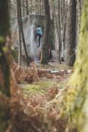
Fontainebleau (Franchard Isatis)
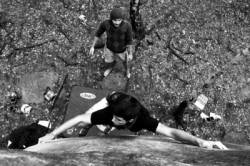
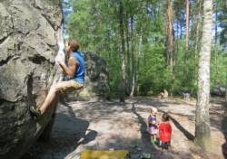
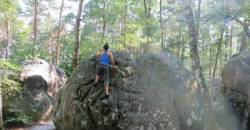
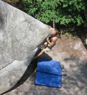
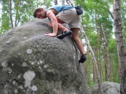
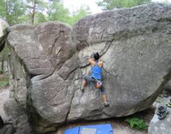
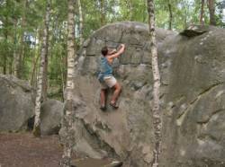
Interesting rock climbing area for routes up to 5c, from 6a to 6c, from 7a to 7c and starting from 8a (french grades).
Best time(s) :
- January
- February
- March
- April
- May
- June
- July
- August
- Sept.
- Oct.
- Nov.
- Dec.
Aspect(s) : All Altitude : 100 m
Approach 5 min easy up hill. Kids friendly ? foot of the crag comfortable for young kids.
Informations :
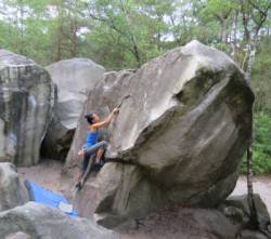
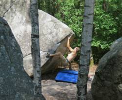
More than 500 routes, from 3a to 8b. Bolting : sport climbing
Max Height : 6 m.
Rock :
sandstone. Characteristic(s) : slab  , vertical
  , steep wall
  . Type(s) of holds : crimps, slopers.
Legendary route(s) :
Alta 7c 3rd 7c's female boulder by Catherine Miquel on 1997.
Iceberg avec boucle 8a+ sent by Catherine Miquel on 18 may 2009.
L'Insoutenable Légèreté de l'Autre 8b sent by Caroline Sinno on 30 april 2019.
Charlatan 9a first ascent by Charles Albert on march 2026
Locations :
Area :
France, Île-de-France, Seine-et-Marne (77), Melun, Fontainebleau.
|
|
Latitude : 48° 24' 35" N | Longitude : 2° 36' 0" E | Sexagesimal & Orientation |
|
|
Latitude : 48° 24' 39" N | Longitude : 2° 35' 56" E | Sexagesimal & Orientation |
| More coordinates |
Area added by CA


