
")
")


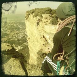
Cap Canaille

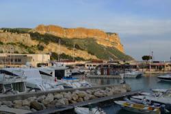


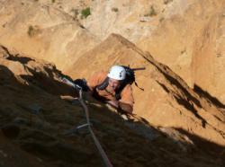
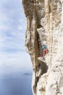
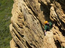
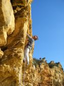
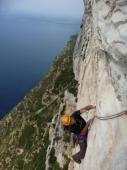
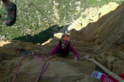


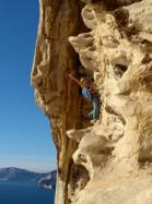


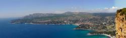

Interesting rock climbing area for routes from 7a to 7c (french grades).
Best time(s) :
- January
- February
- March
- April
- May
- June
- July
- August
- Sept.
- Oct.
- Nov.
- Dec.
Aspect(s) : W Altitude : 150 m
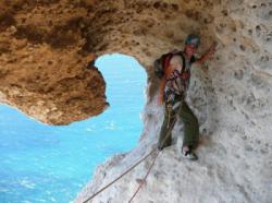
Approach between 15 and 25 min steep down hill. Kids friendly ? foot of the crag dangerous for young kids.
Informations :
Between 10 and 25 routes, from 5b to 7a. Bolting : traditionnal climbing, sport climbing
Max Height : 240 m.
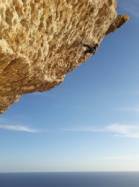
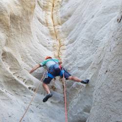
Rock :
sandstone. Characteristic(s) : vertical  , dihedral
  . Type(s) of holds : cracks.
Locations :
Area :
France, Provence-Alpes-Côte d'Azur, Bouches-du-Rhône (13), Aubagne, Cassis.
|
|
Latitude : 43° 12' 6" N | Longitude : 5° 33' 9" E | Sexagesimal & Orientation |
|
|
Latitude : 43° 11' 57" N | Longitude : 5° 33' 10" E | Sexagesimal & Orientation |
| More coordinates |
Area added by CA


