")
")


Bassignac le Bas

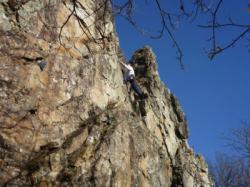
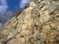
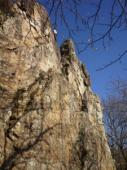
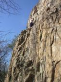
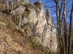
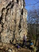
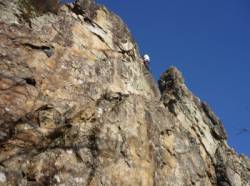
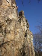
Interesting rock climbing area for routes up to 5c and from 6a to 6c (french grades).
Best time(s) :
- January
- February
- March
- April
- May
- June
- July
- August
- Sept.
- Oct.
- Nov.
- Dec.
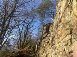
Aspect(s) : SW-S-SE Altitude : 350 m
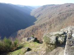
Approach 8 min down hill then up hill. Kids friendly ? foot of the crag reasonable for young kids.
Informations :
Between 10 and 25 routes, from 4a to 6b. Bolting : traditionnal climbing, sport climbing
Max Height : 18 m.
Rock :
granite. Characteristic(s) : vertical  , slab
  . Type(s) of holds : side pulls, jugs, pockets / holes, crimps, cracks, slopers.
Further information(s) : Petit site mais sympa. Permet de s'entrainer en hiver car bien orienté, pas d'humidité.
Locations :
Area :
France, Nouvelle-Aquitaine, Corrèze (19), Argentat, Beaulieu-sur-Dordogne.
|
|
Latitude : 45° 0' 54" N | Longitude : 1° 51' 31" E | Sexagesimal & Orientation |
|
|
Latitude : 45° 0' 53" N | Longitude : 1° 51' 25" E | Sexagesimal & Orientation |
| More coordinates |
Area added by Bruno