")
")


Grimper autour de Sheffield (England)
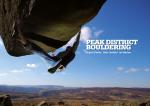
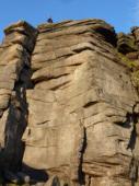
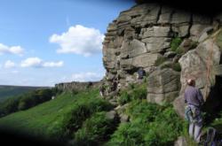
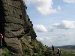
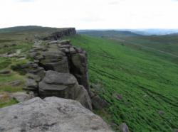
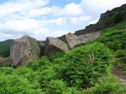
Peak district (Stanage)
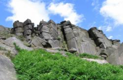
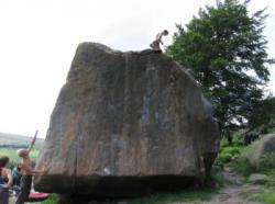
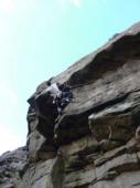
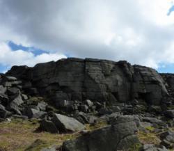
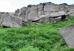

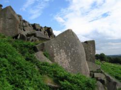
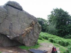
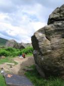


Site de bloc et voies d'une longueur intéressant pour ses voies du 6a au 6c, du 7a au 7c et à partir du 8a .
Meilleure(s) période(s) :
- Janvier
- Février
- Mars
- Avril
- Mai
- Juin
- Juillet
- Août
- Sept.
- Oct.
- Nov.
- Déc.
Orientation(s) : Toutes Altitude au pied des voies : 400 m
Marche d'approche : en montée. Environnement du site : pied des voies confortable pour les jeunes enfants.
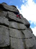
Description de l'escalade :
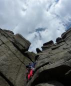
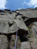
Plus de 200 voies, du 4b au 8a. Equipement : terrain d'aventure
Hauteur max : 20 m.
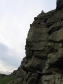
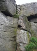
Rocher :
gritstone. Profil(s) : dalle  , vertical
  , dévers
  , surplomb
  . Type(s) de prises : fissures, àplats.
Voie(s) Mythique(s) : Not to be taken away 6c ; The Green Traverse 7a ; The Buckstone Dyno 7b ; Deliverance 7b+ ; Brad Pit 7c+
Localisations :
Lieu :
United Kingdom, England, East Midlands, Derbyshire, Sheffield, Hathersage.
|
|
Latitude : 53° 21' 16" N | Longitude : 1° 38' 24" W | Sexagésimales & Orientation |
|
|
Latitude : 53° 21' 2" N | Longitude : 1° 38' 40" W | Sexagésimales & Orientation |
| Plus de coordonnées |
Vidéos
Site ajouté par CA