")
")


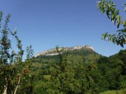
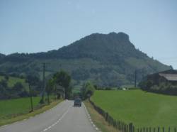
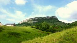
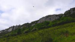
Arguibelle

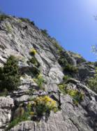


Interesting rock climbing area for routes up to 5c, from 6a to 6c, from 7a to 7c and starting from 8a (french grades).
Best time(s) :
- January
- February
- March
- April
- May
- June
- July
- August
- Sept.
- Oct.
- Nov.
- Dec.
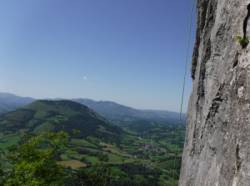
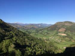
Aspect(s) : S-SE-E Altitude : 700 m
Approach between 20 and 30 min steep up hill
Informations :
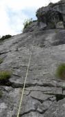
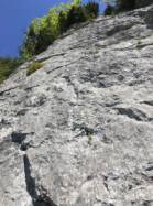
More than 200 routes, from 3c to 8c. Bolting : sport climbing
Max Height : 95 m.
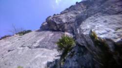
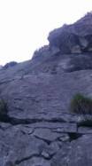
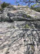
Rock :
limestone. Characteristic(s) : steep wall  , vertical
  , slab
  . Type(s) of holds : crimps, ribs.
En accord avec la LPO, certains secteurs peuvent être fermés pendant la nidification des rapaces.
Web site(s) :
http://escalade64.fr/?p=221
Locations :
Area :
France, Nouvelle-Aquitaine, Pyrénées-Atlantiques (64), Oloron-Sainte-Marie, Montory.
|
|
Latitude : 43° 5' 5" N | Longitude : 0° 47' 27" W | Sexagesimal & Orientation |
|
|
Latitude : 43° 4' 57" N | Longitude : 0° 47' 39" W | Sexagesimal & Orientation |
| More coordinates |
Area added by CA