
")
")


Valflaunès

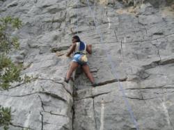


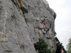


Interesting rock climbing area for routes up to 5c and from 6a to 6c (french grades).
Best time(s) :
- January
- February
- March
- April
- May
- June
- July
- August
- Sept.
- Oct.
- Nov.
- Dec.
Aspect(s) : S Altitude : 300 m
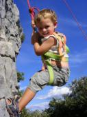
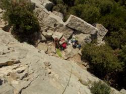
Approach 10 min steep down hill. Kids friendly ? foot of the crag reasonable for young kids.
Informations :
Between 10 and 25 routes, from 4c to 6b. Bolting : sport climbing
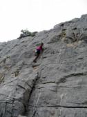
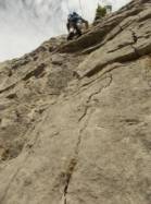
Max Height : 20 m.
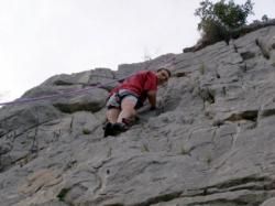
Rock :
limestone. Characteristic(s) : vertical  , slab
  . Type(s) of holds : crimps, cracks.
Further information(s) : Super site d'initiation.
Locations :
Area :
France, Occitanie, Hérault (34), Montpellier, Saint-Mathieu-de-Tréviers.
|
|
Latitude : 43° 49' 10" N | Longitude : 3° 51' 32" E | Sexagesimal & Orientation |
|
|
Latitude : 43° 49' 10" N | Longitude : 3° 51' 21" E | Sexagesimal & Orientation |
| More coordinates |
Area added by CA

