
")
")


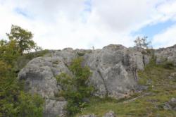
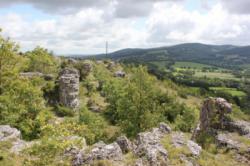
Gages
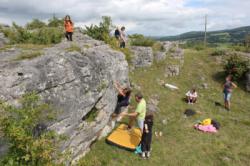
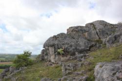


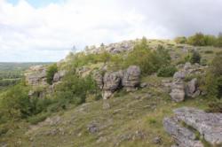
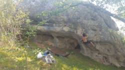
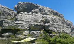


Interesting bouldering area for problems from 6a to 6c (Fontainebleau grades).
Best time(s) :
- January
- February
- March
- April
- May
- June
- July
- August
- Sept.
- Oct.
- Nov.
- Dec.
Aspect(s) : All Altitude : 650 m
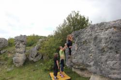
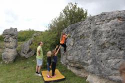
Approach 10 min steep up hill. Kids friendly ? area around the boulders uneven for young kids.
Informations :
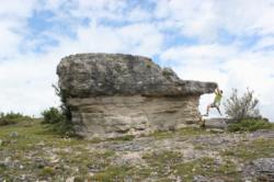
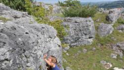
Between 10 and 25 problems, from 3a to 7a. Bolting : sport climbing
Max Height : 4 m.
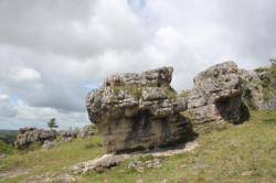
Rock :
limestone (dolomie). Characteristic(s) : steep wall  , vertical
  , slab
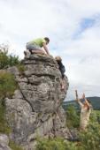
  . Type(s) of holds : jugs, pockets / holes, crimps, slopers.
Landing quality : uneven or steep ground (1 crash pad and 1 spotter needed).
Site Natura 2000, soyez respectueux des lieux.
Locations :
Area :
France, Occitanie, Aveyron (12), Rodez, Gages.
|
|
Latitude : 44° 23' 56" N | Longitude : 2° 40' 49" E | Sexagesimal & Orientation |
|
|
Latitude : 44° 23' 51" N | Longitude : 2° 41' 11" E | Sexagesimal & Orientation |
| More coordinates |
Area added by CA

